
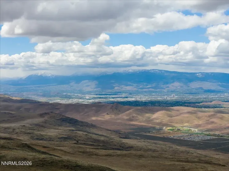
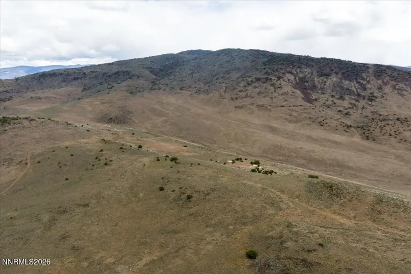
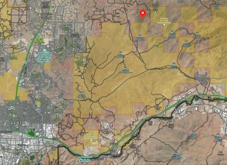
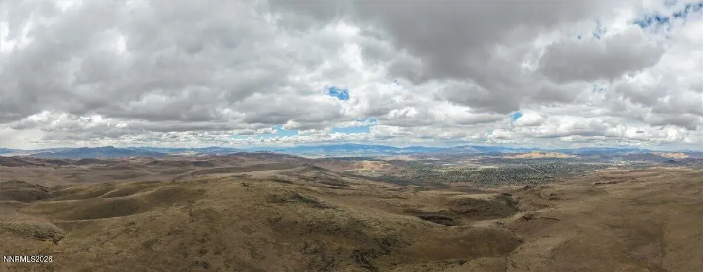
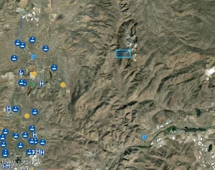
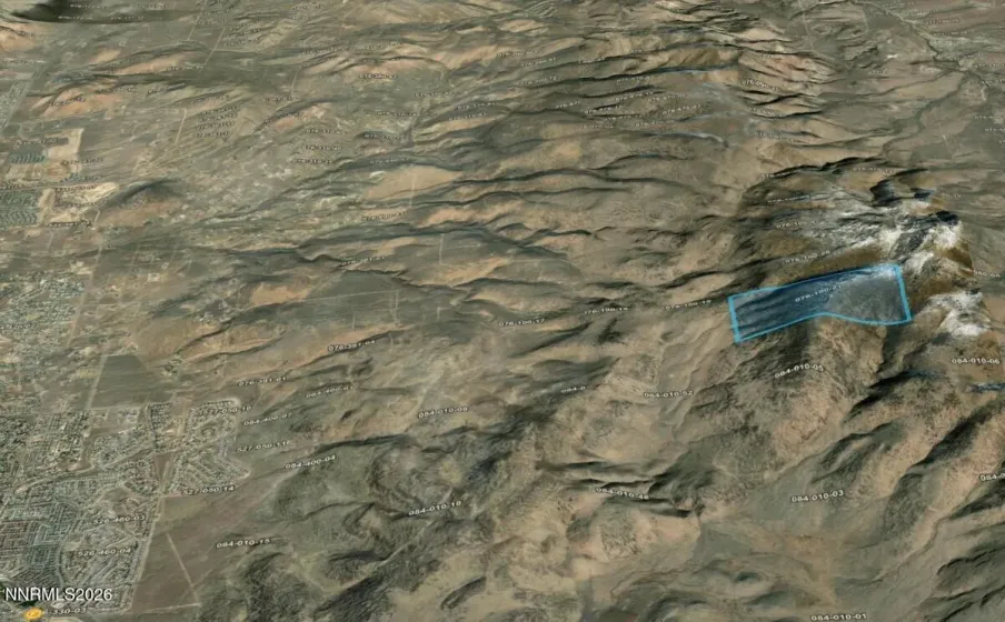
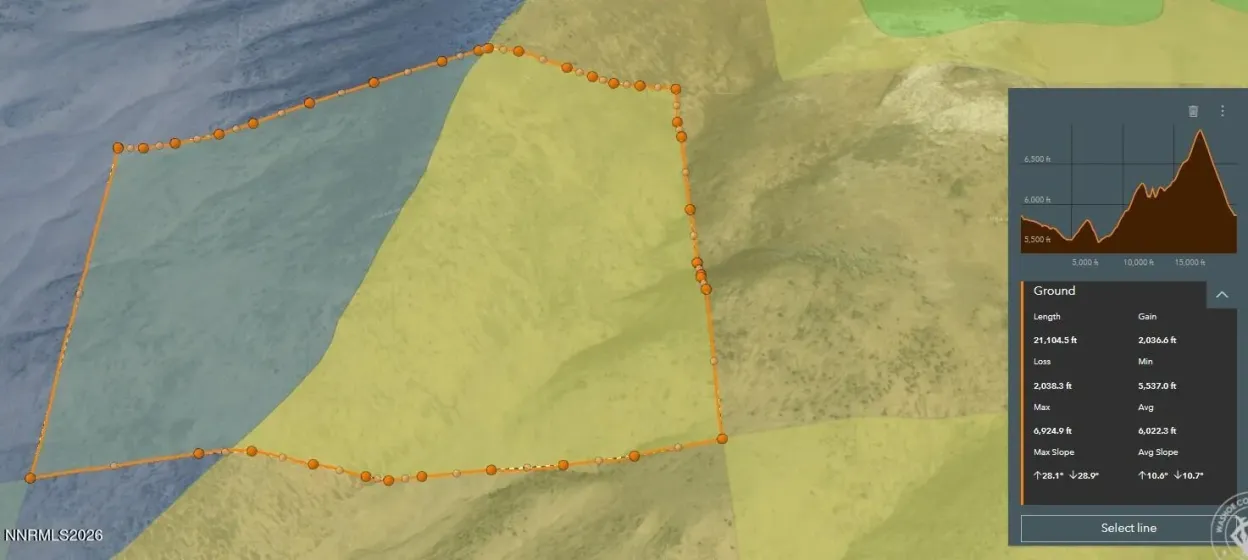
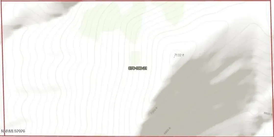
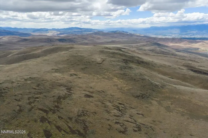
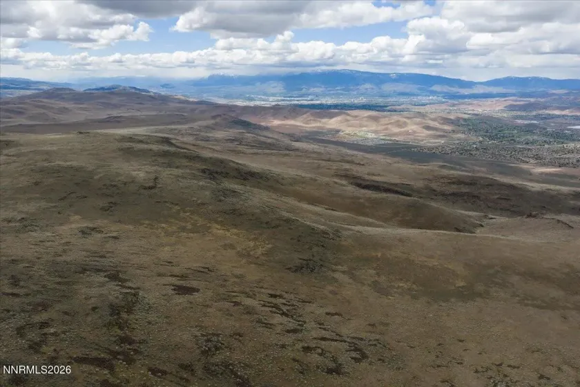
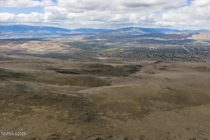
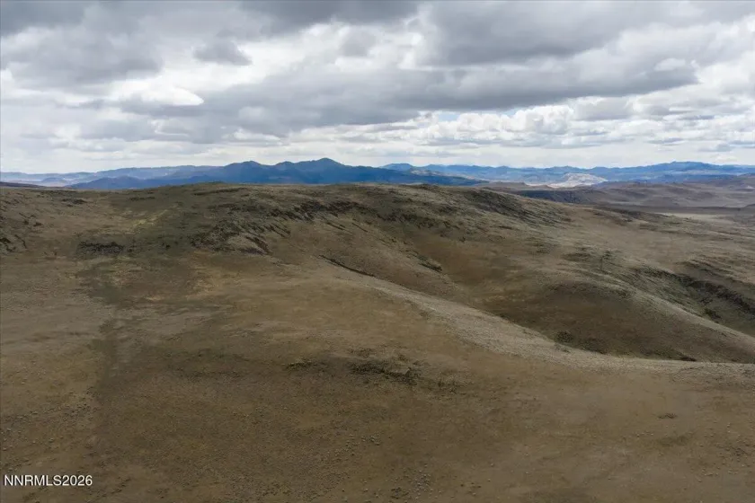
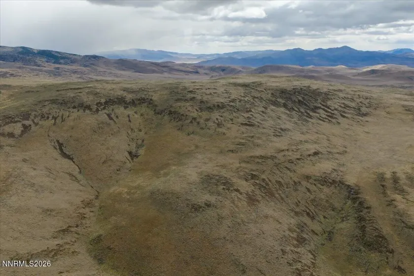
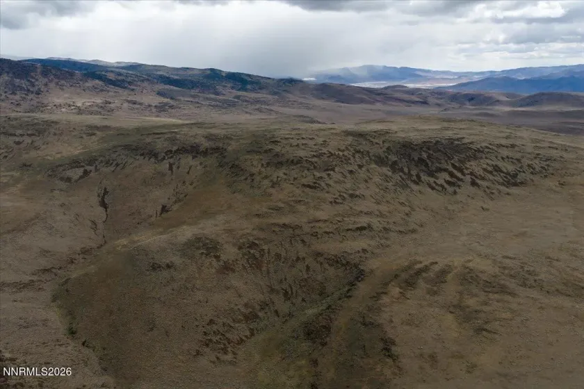
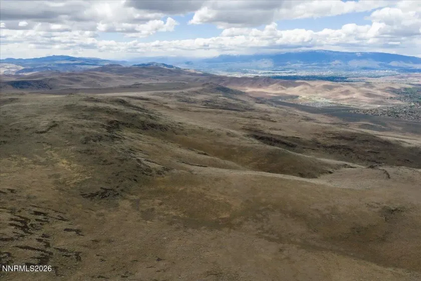
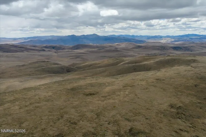
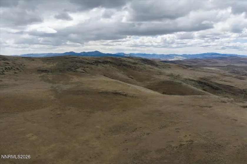
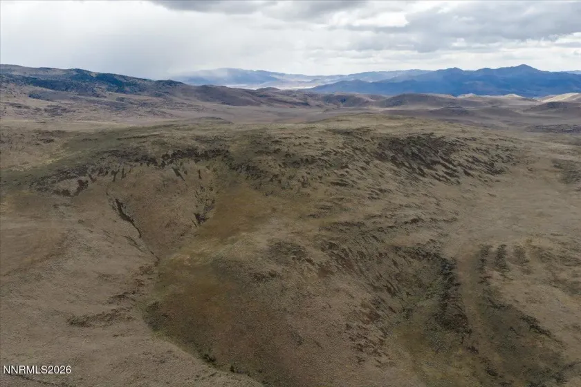
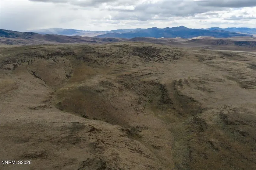
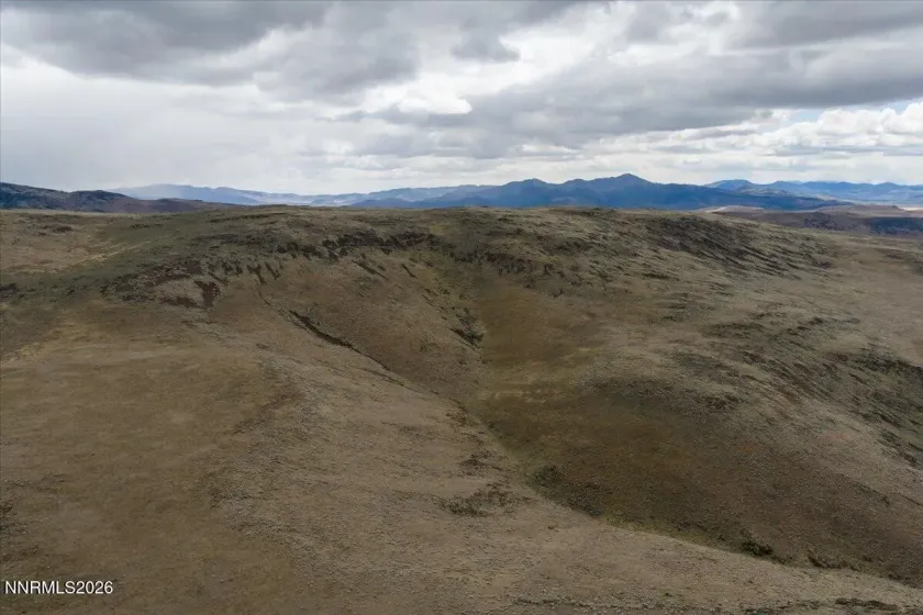
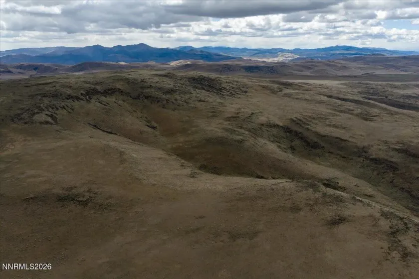
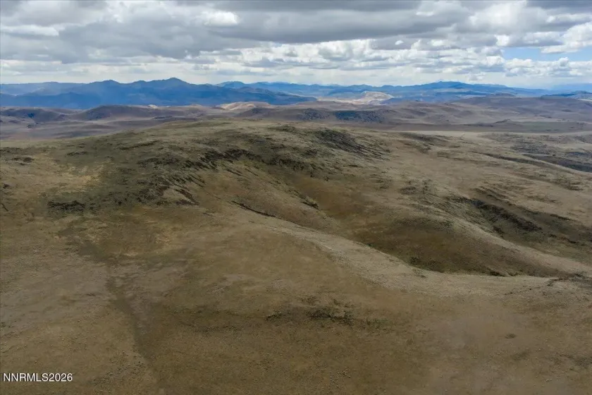
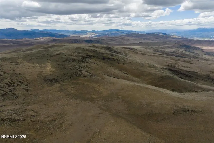
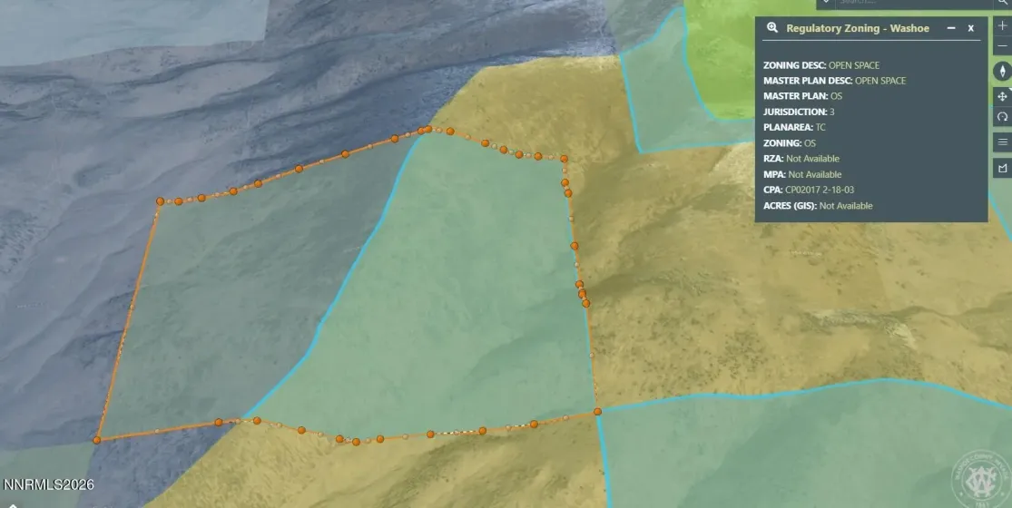
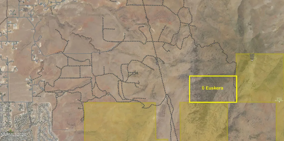
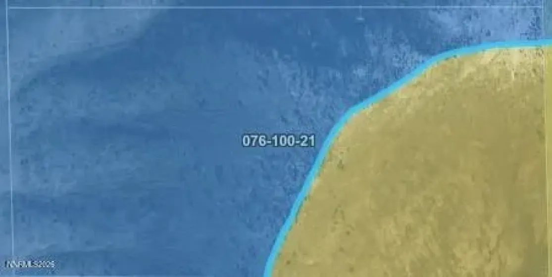
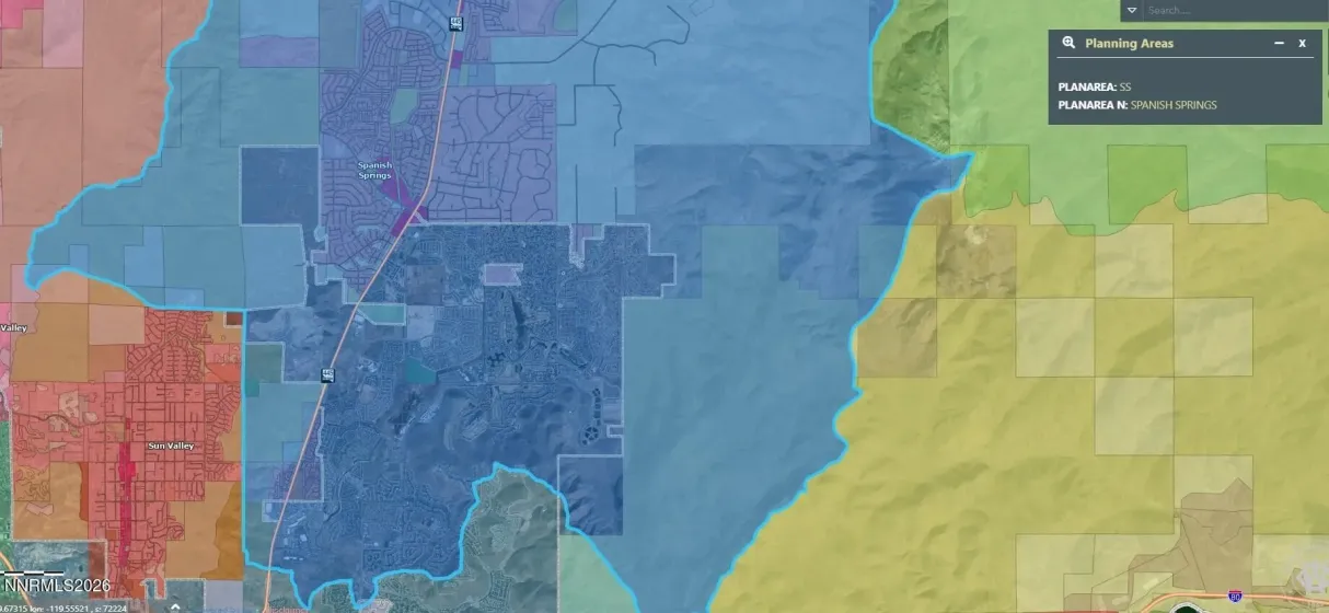
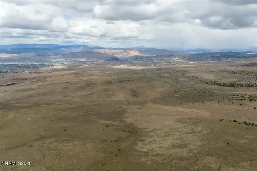
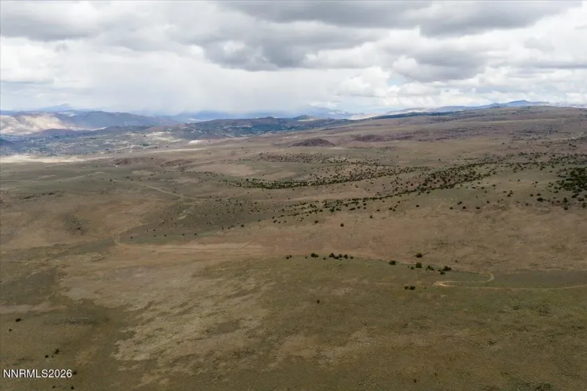
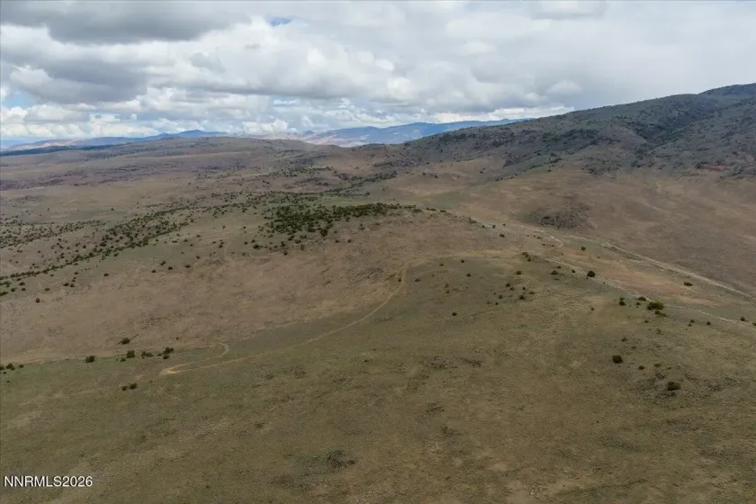
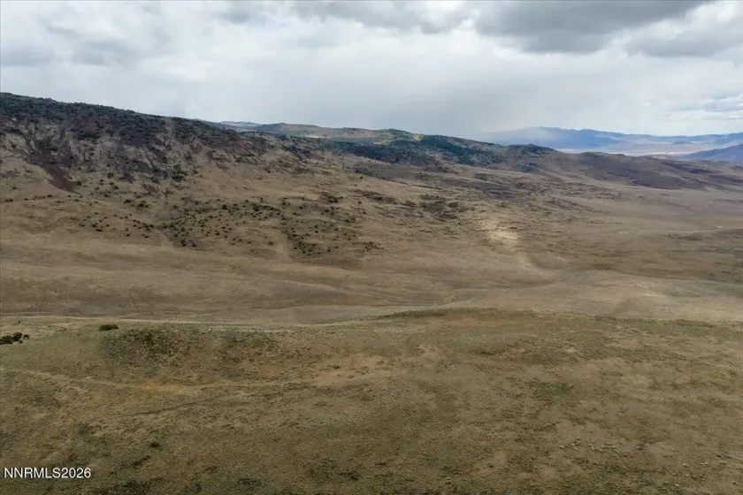
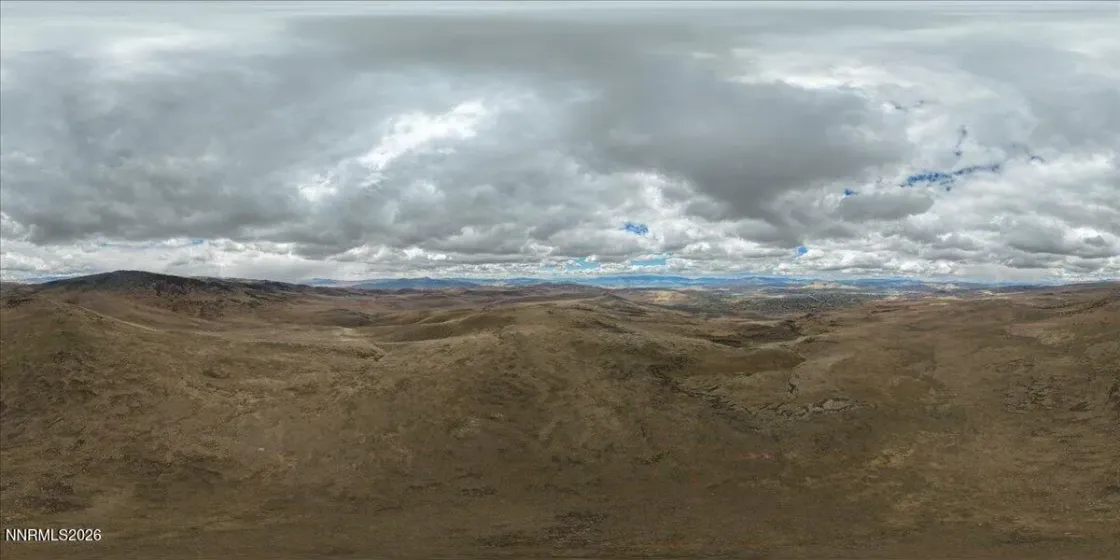
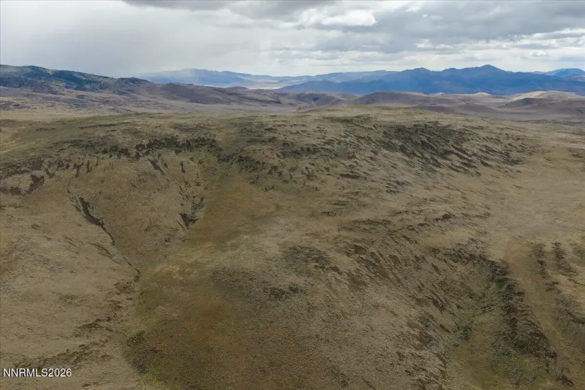
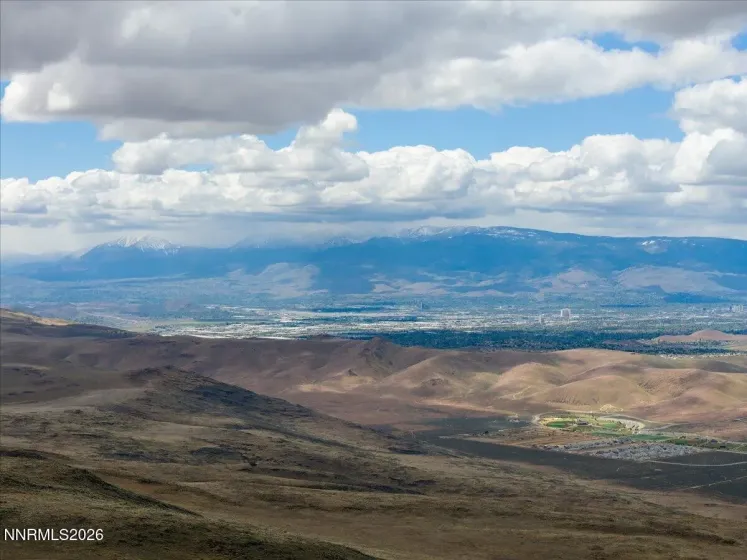
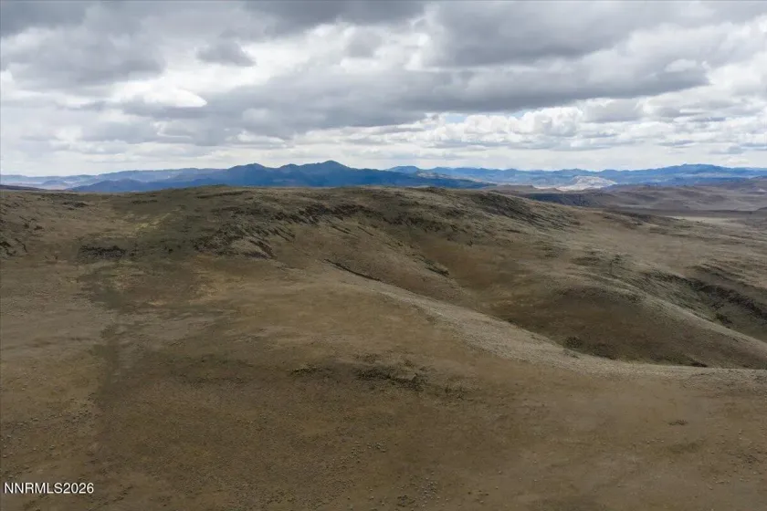
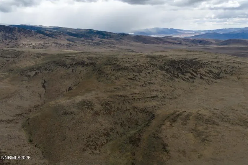
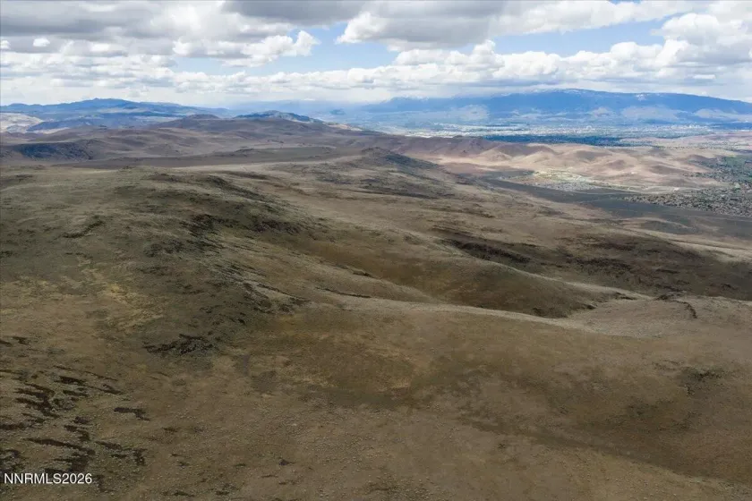
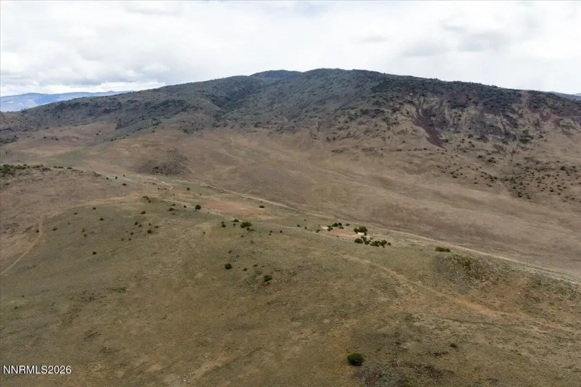
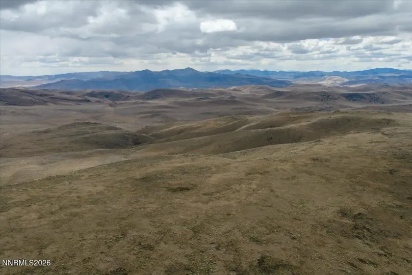
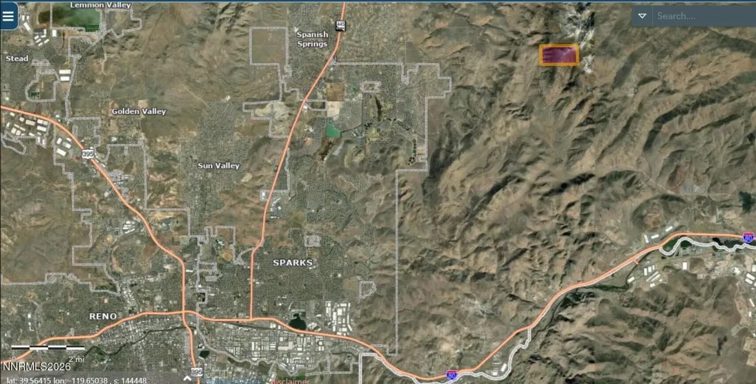
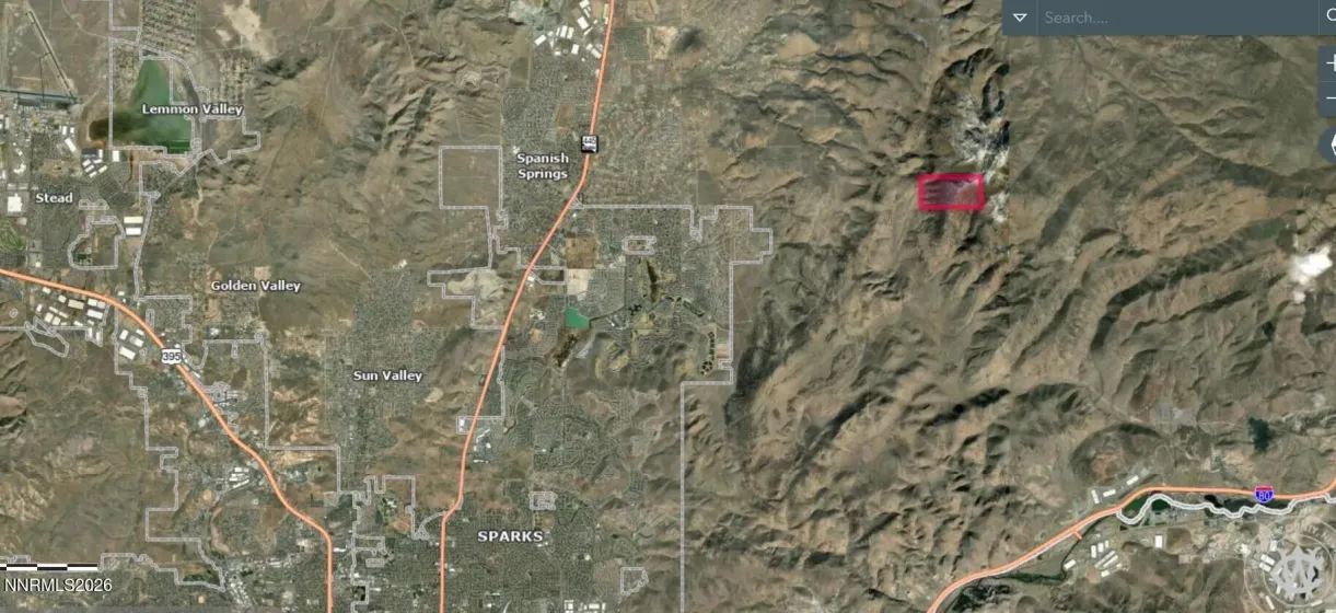
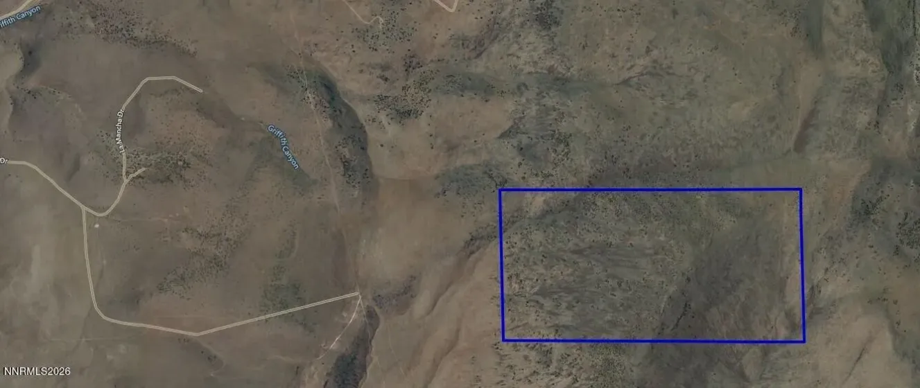
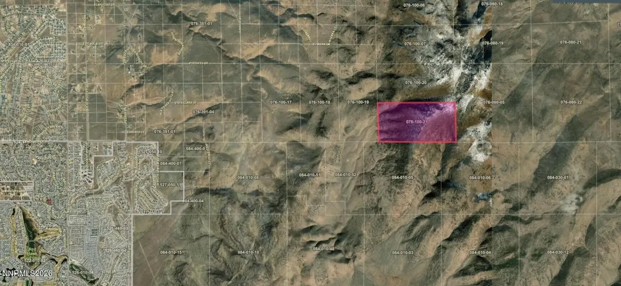
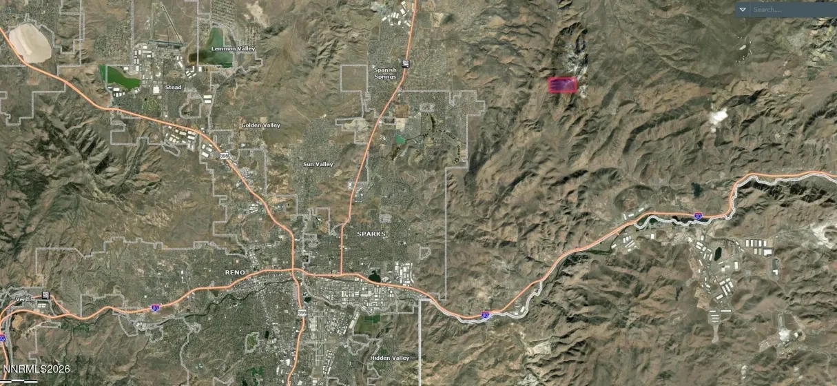
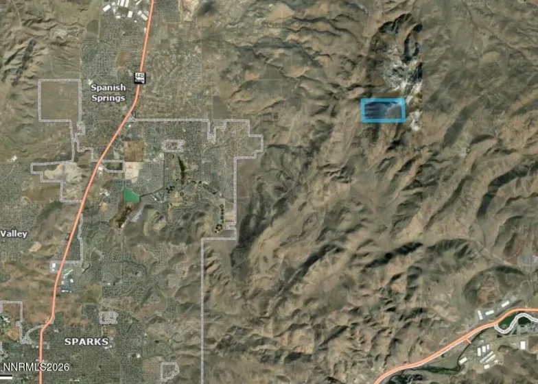
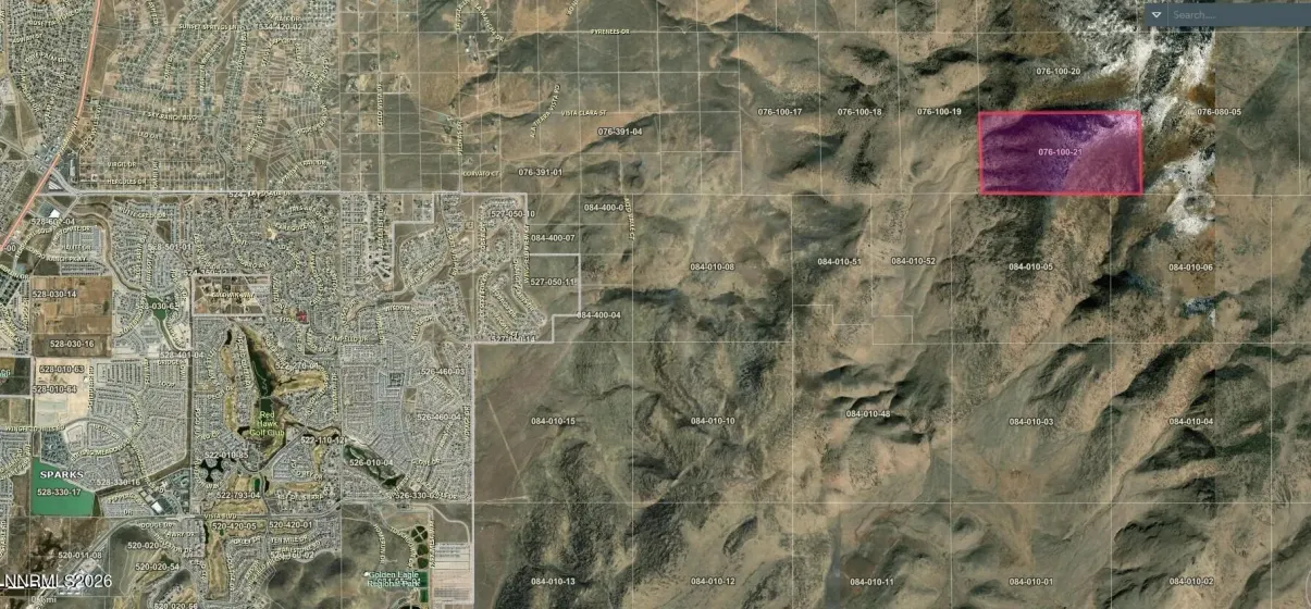
±320-acre contiguous land holding located in the Palomino Valley area northeast of Sparks, offering expansive high-desert terrain, panoramic mountain views, and exceptional privacy. Situated near the growing Spanish Springs corridor, this rare half-section of GR-zoned land lies within the broader Truckee Meadows Regional Planning Agency planning region and along the eastern edge of Northern Nevada’s continued growth path. The property features varied topography including gently rolling terrain, elevated ridgelines, and natural view corridors, with elevations reaching approximately 7,100 feet across portions of the site. Bordered by Bureau of Land Management land on multiple sides, the parcel benefits from surrounding open space and a uniquely secluded setting ideal for recreational, ranch, equestrian, off-grid, or long-term land investment use. Located within the Sparks Sphere of Influence and approximately 8-10 miles from USA Parkway as the crow flies, the property offers a compelling blend of privacy, regional accessibility, and long-term positioning within Northern Nevada’s expanding development corridor. The area is well suited for horses, livestock, outdoor recreation, and rural residential living. GR zoning allows for a variety of agricultural and rural residential uses. A small portion of the property adjoins Development Constraint Area (DCA) designated land associated with the Truckee Canyon / Spanish Springs regional planning framework. Utilities are not currently on site. Natural washes and drainage patterns may exist throughout portions of the property. Buyer to independently verify all permitted uses, development requirements, legal and physical access, utility availability, utility corridor proximity, well and septic feasibility, easements, CC&Rs, deed restrictions, subdivision potential, and all associated development costs. Whether envisioned as a private retreat, recreational ranch, legacy land holding, or long-term investment opportunity, this expansive Northern Nevada property offers the scale, setting, and surrounding open space that are increasingly difficult to find. Approximate GPS Coordinates: 39.6513° N, 119.6885° W
- UTILITIES:
- Electricity Not Available, Sewer Not Available, Water Not Available, None, Natural Gas Not Available, Cable Not Available, Internet Not Available, Phone Not Available
- Xstreet/Directions:
- to Delta Downs
- Country:
- US
- State:
- NV
- County:
- Washoe
- City:
- Sparks
- Zipcode:
- 89441
- Street:
- Euskera
- Street Number:
- 00
- Floor Number:
- 0
- Longitude:
- W120° 24' 22.1''
- Latitude:
- N39° 38' 36.9''
- Elementary School:
- Taylor
- High School:
- Spanish Springs
- Middle School:
- Shaw Middle School
- Office Name:
- Chase International-Damonte
- Agent Name:
- Judith Harris
- PhotoTimestamp:
- 05-22-2026 18:28:36
- Status Detail:
- Active
- Status Date:
- 05-22-2026
- Agent ID:
- 9316
- Listing Office 1:
- 1471-o
- Contract Date:
- 05-22-2026
- Sold Price:
- $0
- Update Date:
- 05-22-2026 18:37:04
- CIC Dues:
- $0
- Parcel #:
- 076-100-21
- Search Price:
- $0
- Price Per SQFT:
- $0
Land Residential
00 Euskera, Sparks, Nevada 89441
- Property Type :
- Land
- Listing Type :
- Residential
- Listing ID :
- 260006542
- Serial Number :
- 20260522170757461794000000
- Price :
- $1,600,000
- View :
- Trees
- Year Built :
- 0
- Lot Area :
- 320 Acre
- Status :
- Active