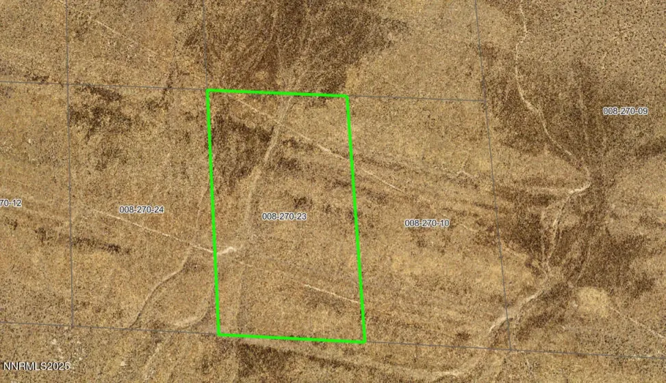
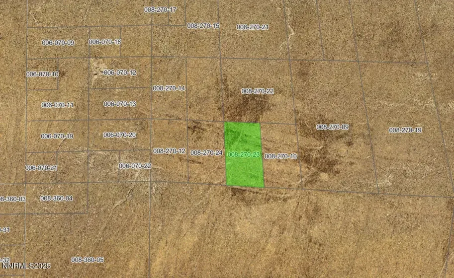
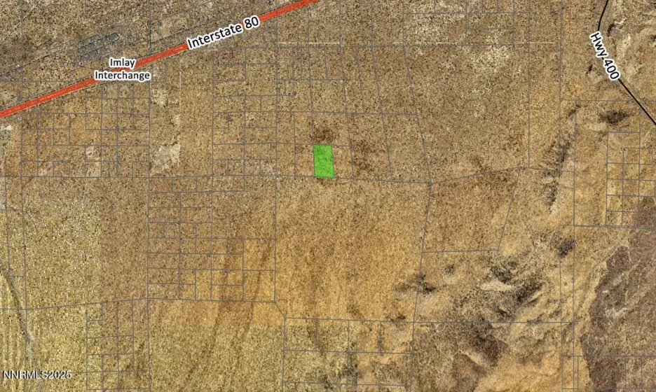
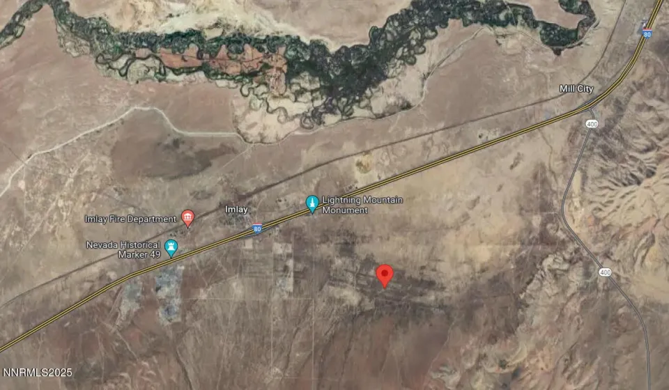
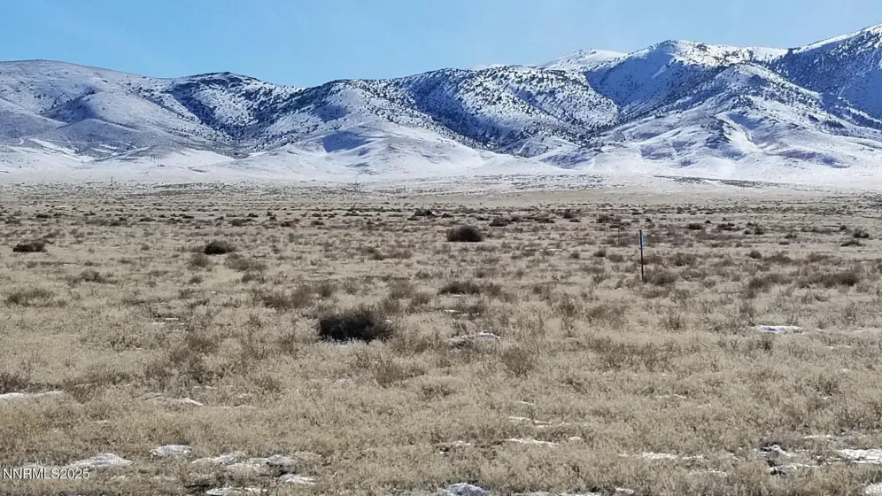
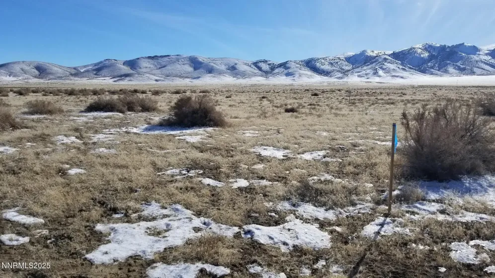
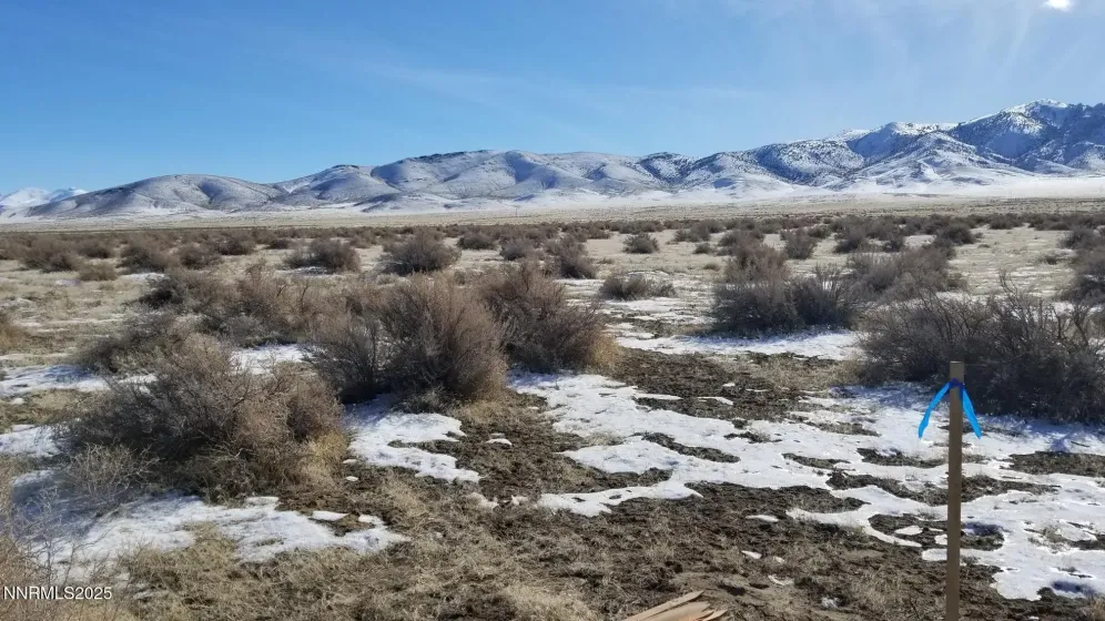
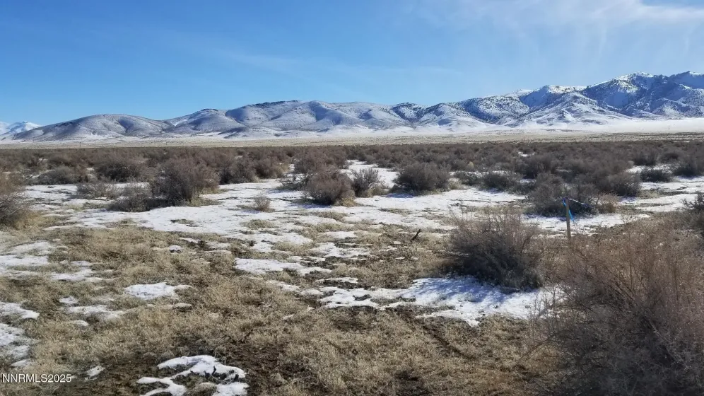
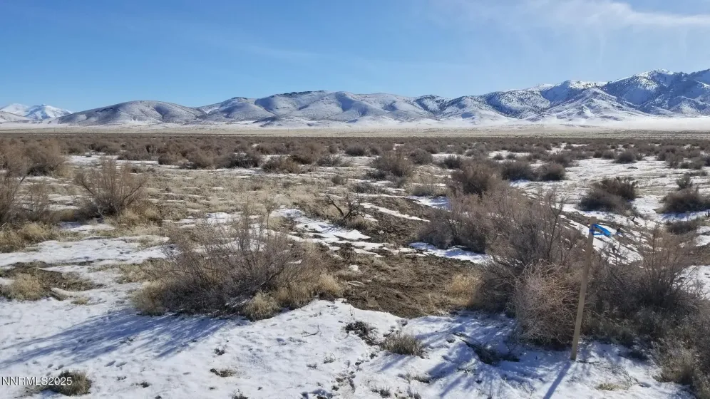
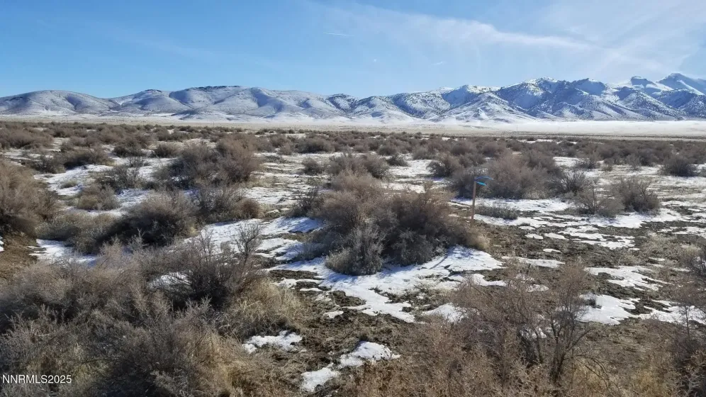
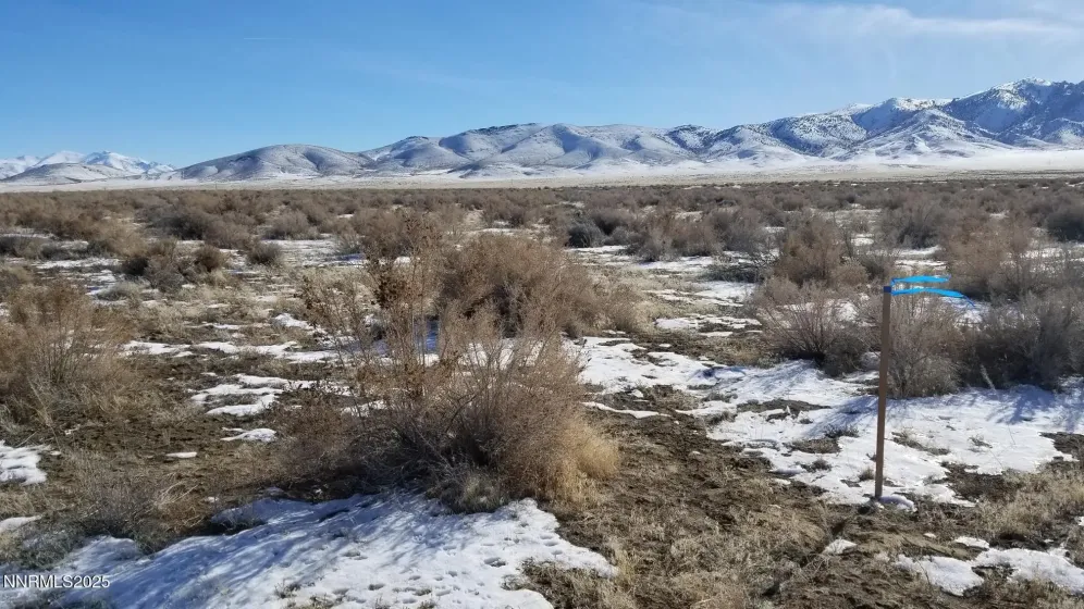
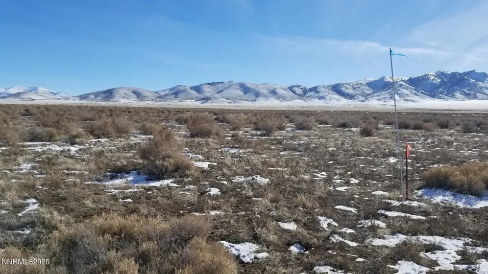
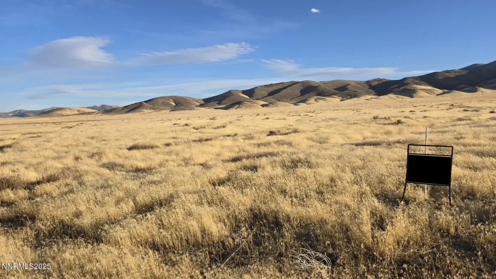
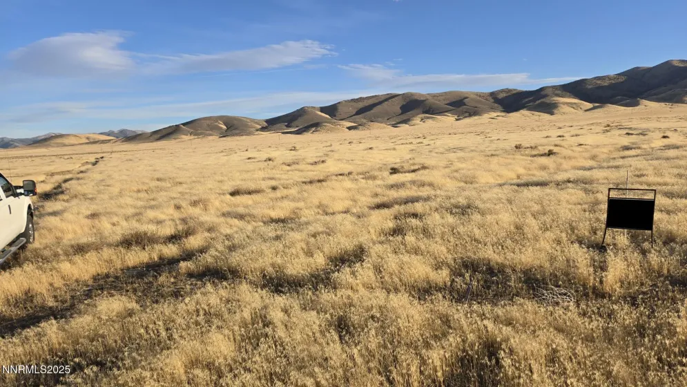
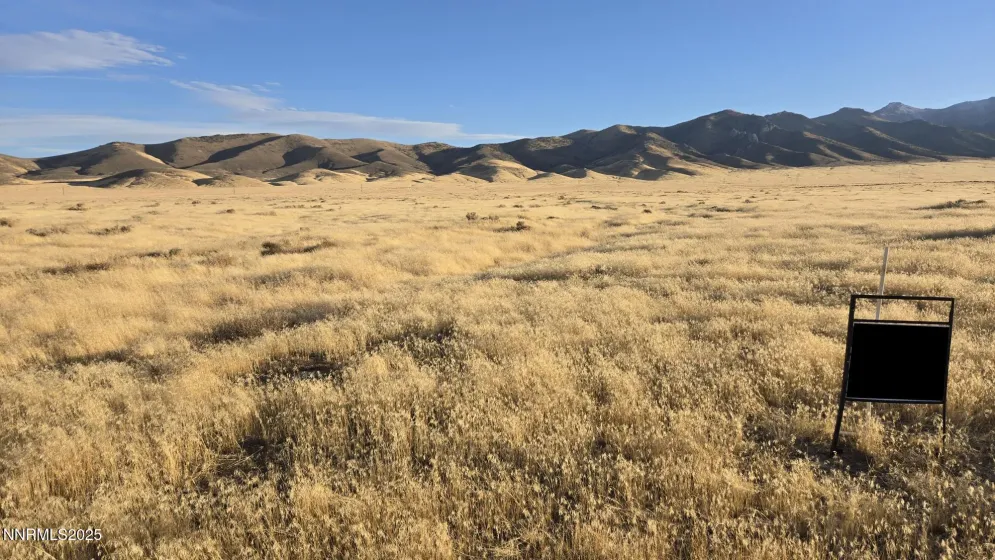
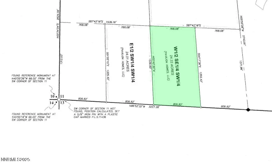
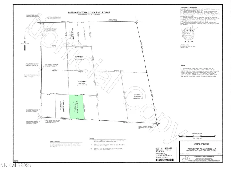
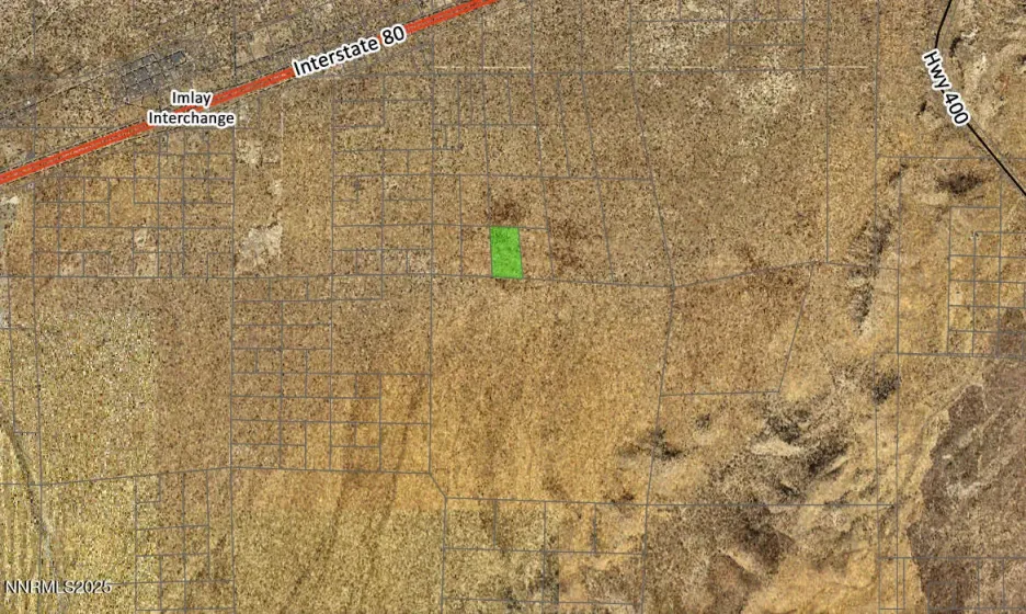
24.22 ACRES LAND NEAR MOUNTAINS, ADJACENT TO BLM 24.22+- acres raw land. Near the town of Imlay and the neighborhood of Mill City. A pleasant place for camping and off-road recreation, and/or potentially for your home, family, animals, landscape, views, and quietude. With close proximity to area employers such as the Florida Canyon mine, the planned West Coast Salmon facility, and local businesses, this could prove the perfect location for settling into. Rural, yet easy to get to. Expansive and tranquil views of mountains and desert in all directions. The nearest Interstate 80 interchange is within a 5+- minute drive. Zoned AMR (agriculture, mining, recreation), which allows a wide variety of potential uses including building a home, subject to applicable permitting requirements. Located south of Interstate 80, with easy access to both the Imlay freeway interchange to the west and the Mill City interchange to the east. Three very lightly traveled dirt roads pass by the area and the property from both the east and the west. Services are available nearby both east and west of the property along Interstate 80, primarily at the Imlay and Mill City interchanges. The property is located about 20 minutes west of Winnemucca, 2 hours east of Reno, and 4 hours west of Salt Lake City, all lying along Interstate 80. This is an off-grid location. Solar or wind appear to be the best methods of generating electricity, or alternatively electric lines are located to both the north and the east of the property within less than a mile. Water is typically obtained via private well and sewage disposal via private septic tank. Propane delivery service is available locally. West Star Peak Road is a dirt road which passes by the southwest corner of the property. One or more adjacent parcels may be available if Buyer desires additional acreage; please inquire. Property to be sold as-is, where-is. Buyer to conduct their own due diligence with regards to development possibilities, utilities, etc to ensure property meets Buyer’s needs. Pershing County APN 008-270-23 GPS 40.64708, -118.11611
- UTILITIES:
- No
- Xstreet/Directions
- Country:
- US
- State:
- NV
- County:
- Pershing
- City:
- Imlay
- Zipcode:
- 89418
- Street:
- W Star Peak Rd
- Street Number:
- 00827023
- Floor Number:
- 0
- Longitude:
- W119° 52' 59''
- Latitude:
- N40° 38' 52.9''
- Elementary School:
- Imlay
- High School:
- Pershing
- Middle School:
- Pershing
- Office Name:
- Desert Acreage
- Agent Name:
- Robert Kennerson
- PhotoTimestamp:
- 10-21-2025 02:22:40
- Status Detail:
- Active
- Status Date:
- 10-14-2025
- Agent ID:
- 9510
- Listing Office 1:
- 9435-o
- Contract Date:
- 10-14-2025
- Sold Price:
- $0
- Update Date:
- 05-08-2026 02:18:58
- CIC Dues:
- $0
- Parcel #:
- 008-270-23
- Search Price:
- $0
- Price Per SQFT:
- $0
Land Residential
00827023 W Star Peak Rd, Imlay, Nevada 89418
- Property Type :
- Land
- Listing Type :
- Residential
- Listing ID :
- 250057010
- Serial Number :
- 20251014195038274487000000
- Price :
- $24,000
- View :
- Trees
- Year Built :
- 0
- Lot Area :
- 24.22 Acre
- Status :
- Active